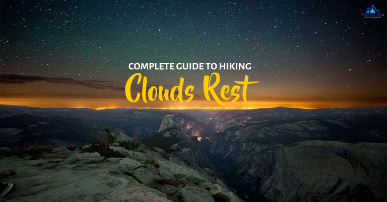
Were you one of the many who weren’t awarded a Half Dome permit? Or are you just looking for a similar full-day hike? Look no further because the Clouds Rest hike is described by many as the best hike in Yosemite National Park. Yes, even better than hiking Half Dome.
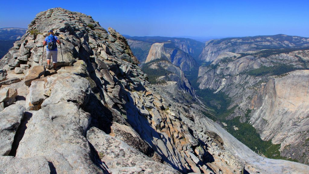
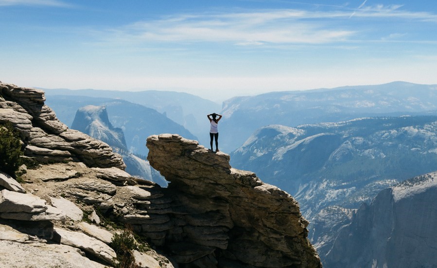
The hike fittingly known as Clouds Rest sits more than 1,000 feet above the iconic Half Dome and provides arguably the best view in all of Yosemite National Park. The adrenaline rush you get as you climb the narrow rocky ridge that leads to the Clouds Rest summit is one of the many reasons hiking enthusiasts choose this trail.
In this blog, we’ll cover all you need to know to get you prepared for the magnificent Clouds Rest hike.
Beginning the Clouds Rest Hike:
There are multiple trails to take you to the top of Clouds Rest, but in this post, we’ll focus on the quickest and most common route, Tenaya Lake to Clouds Rest.
The Clouds Rest hike will begin at the Sunrise Lakes trailhead on Tioga Road. Right by the trailhead is a small but well-marked parking lot; however, this parking lot is almost always full. If you want a parking space, make sure you get there bright and early. There’s also additional parking along the sides of Tioga Road. But once again, these can fill up quickly, so plan accordingly.
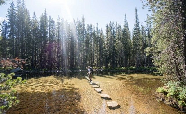
As you follow the beginning of the Clouds Rest trail, you’ll reach Tenaya Creek. You’ll need to cross the creek by the rocks protruding from the water. It’s very easy to get your feet wet here, especially if you do this hike in the spring when the water in the creek is the strongest. Be sure to avoid getting your socks wet here, dealing with blisters on this long hike will not be pleasant.
The Ascent From Tenaya Lake to Clouds Rest
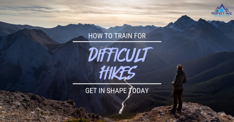
The first 1.5 miles of the Clouds Rest trail will be mostly flat ground that makes for an easy hike. However, the difficulty quickly increases as the next mile the path will turn into switchbacks gaining 1,000+ feet of elevation as you ascend to the top of the ridgeline. This portion of the Clouds Rest hike can be very strenuous; I recommend pacing yourself and taking breaks when needed. It’s also a good idea to train and prepare beforehand. Check out this blog on how to train for hiking for some hiking workouts.
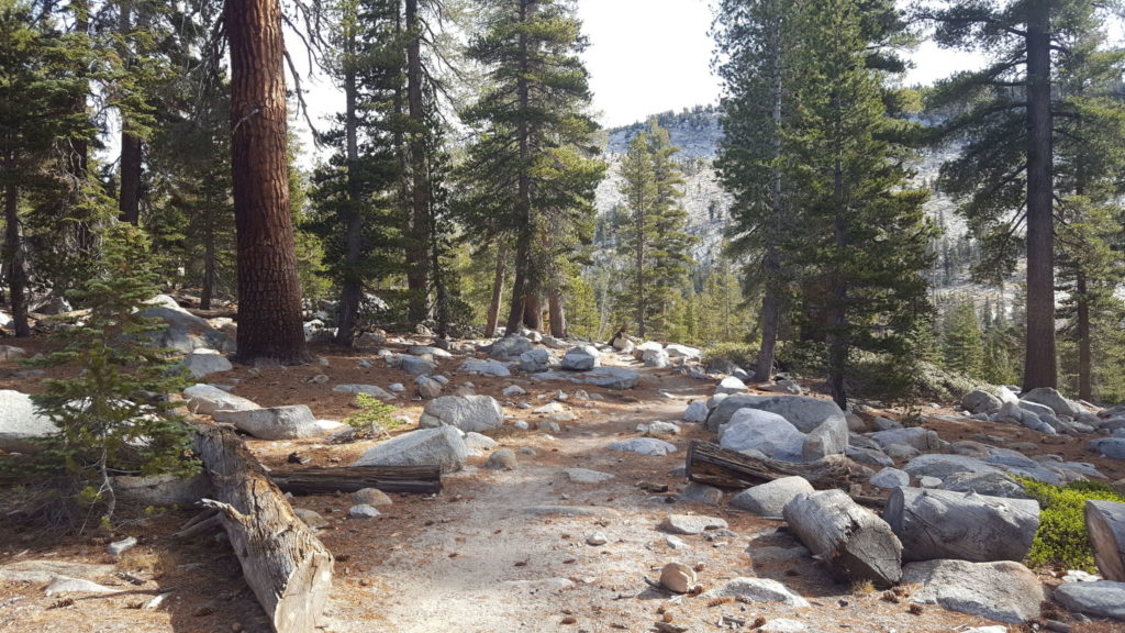
Once you make it to the top, you’ll reach a “Y” junction where you’ll have the option to continue to Clouds Rest or Sunrise Lakes. To continue to Clouds Rest, you’ll take the trail on your right and begin to trek downwards for roughly 0.5 miles into a beautiful forested area and relatively flat path for the next 1.7 miles until you reach the next junction.
The Final Push:
Once you reach the final trail junction, you’ll bear right, and from here, you’re about 1.5 miles from Clouds Rest. The final push will take you along a ridgeline with views you can only imagine. Use extreme caution as the ridgeline trail can be narrow at some points with drop-offs on both sides. The reward is well worth the risk as the final half mile stretch is simply incredible. To get a better idea of exactly what the Clouds Rest ridge looks like, check out this video below.
Once you reach the summit of Clouds Rest, you’ll be presented with a full 360-degree view of Half Dome, Tenaya Canyon, and so much more that Yosemite National Park has to offer. There are plenty of places to rest and take a picture that will capture a moment you’ll never forget.
Take in all the beauty before heading back down the way you came. The return trip is relatively easy, as most of its downhill. But be careful, descending trails is the #1 cause of injury when hiking. Watch your step and take your time!
Alternate Return Route:
There’s also a straight-through route that ends in Yosemite Valley. Instead of returning the way you came, you can continue the trail from the Clouds Rest summit down to Yosemite Valley via the Half Dome trail. The trail descends more than 6,000 feet over the course of 8 miles until you reach the Valley floor. This route takes a tad bit longer than returning the way you came, but it provides different views and will lead you straight to some food in the Valley.